


Description
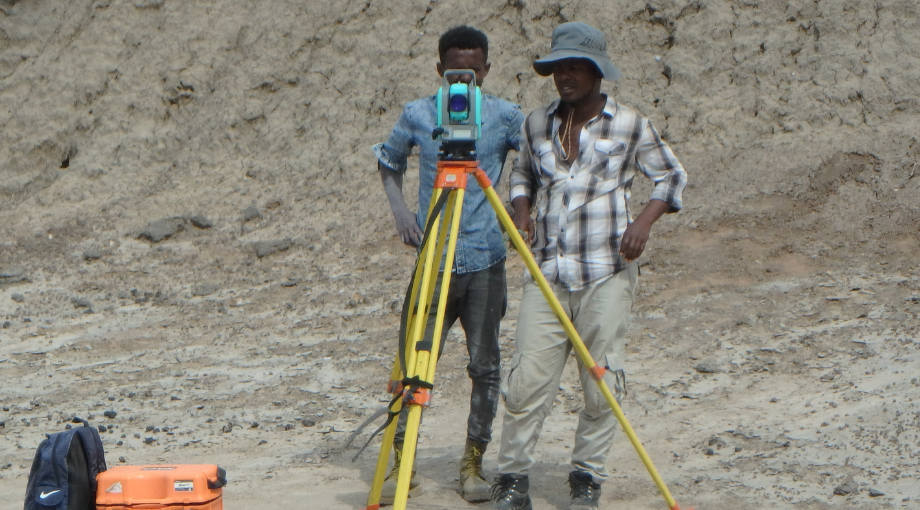
- Leica FlexLine TS03 Total Station (Leica Microsystems)
- Stonex S900 GNSS GPS (Stonex)
Activities
PALEVOPRIM is highly active in field research through its prospecting, excavation, and sampling activities. Georeferencing and Geographic Information System (GIS) tools enable precise geolocation surveys of localities and in situ fossil specimens. This approach subsequently supports taphonomic studies and analyses of spatiotemporal correlations between paleobiodiversity data and environmental signals.
In addition to data acquired in situ, spatial analysis software can also be used to study large datasets derived from the morphology and topography of fossil or osteological specimens at the tooth scale.
Funding
Equipment funded by CNRS and University of Poitiers funding (Géomicro project, 2023 call for proposals, “Support for the Acquisition of Scientific Equipment”).
Contact
- Adélaïde Euriat (PALEVOPRIM)
Equipment
Leica FlexLine TS03 Total Station
(Leica Microsystems)
Measurement taking
Conducting precise geolocation surveys.
Equipment
GPS gnss stonex s900 (Stonex).


